vessel EASTERN PEARL IMO: 9285859, Crude Oil Tanker vesseltracker.com
Vessel EASTERN PEARL IMO: 9285859, Crude Oil Tanker
MMSI: 334920000 callsign: HQZS2 size: 250x44

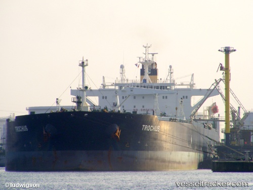
Find the position of the vessel EASTERN PEARL on the map. The latter are known coordinates and path.

marine traffic ship tracker show on live map

The current position of vessel EASTERN PEARL is 29.737749099731445 lat / 32.58456802368164 lng. Updated: 2025-01-08 07:54:52 UTC

Currently sailing under the flag of Honduras

EASTERN PEARL built in 2006 year

Deadweight:
115341 t

Details:


Last coordinates of the vessel:
2025-01-08 07:54:52 UTC, 29.737749099731445, 32.58456802368164, course: 351, speed: 0

Track of the vessel in the last 14 days


Most frequent ports a vessels calls at EASTERN PEARL (334920000):

Port Arthur, traffic: 6
Port Neches, traffic: 4
Corpus Christi, traffic: 4
Galveston, traffic: 2
Loop Terminal, traffic: 2
Strait Of Gibraltar, traffic: 1
Taranto, traffic: 1
Genova, traffic: 1
Vlaardingen, traffic: 1
Kalundborg, traffic: 1
SAFAGA, traffic: 1
Maassluis, traffic: 1
As Sukhayrah, traffic: 1
Augusta, traffic: 1
Ras Gharib, traffic: 1

Link to the map:


Find another ship

EASTERN_PEARL (334920000) last ports (portcalls and passsages)

SAFAGA | 2024-12-15 06:41:35
Ras Gharib | 2024-12-05 06:36:33
Augusta | 2023-06-13 19:02:29
As Sukhayrah | 2023-06-10 21:45:28
Taranto | 2023-06-05 06:37:10
Genova | 2023-05-30 18:29:16
Ceuta | 2023-05-27 16:19:11
Strait Of Gibraltar | 2023-05-27 13:34:17
Corpus Christi | 2023-05-08 04:23:23
Galveston | 2023-04-29 12:35:42
Galveston | 2023-04-25 12:25:48
Loop Terminal | 2023-04-14 21:16:59
Loop Terminal | 2023-04-10 01:49:04
Kalundborg | 2023-02-16 17:19:45
Corpus Christi | 2023-01-18 20:12:56
San Pedro De Macoris | 2023-01-10 08:49:59
Vlaardingen | 2022-04-15 08:44:38
Corpus Christi | 2021-12-07 10:25:11
Port Arthur | 2021-12-05 22:27:08
Port Neches | 2021-12-03 18:20:02
Port Arthur | 2021-12-03 17:48:48
Port Arthur | 2021-12-03 15:54:11